Bourne End Village
Wikipedia refers to Bourne End as a village, and goes further adding “The then hamlet appears on Morden’s 1722 map of Buckinghamshire …”.
 The map opposite shows Bourne End in 1876 (© Ordinance Survey). The map is Available here.
Looking at Historical maps it can be seen that Bourne End, Cores End, and Well End were all separate hamlets. Bourne End centred around the end of the River Wye, where it joins the Thames. The majority of the houses spanning outwards along the North and Westward legs of Hedsor Road. Employment was predominantly from the local Farms, Mills and the Wharfs on the Thames.
We all know Bourne End – as with all villages and towns – has grown in size over the years. Development and growth is to be expected, and is mostly accepted by those in the area.
When towns and villages grow, the tend to grow in a given direction. That direction appears to be the one that has less impact on the local infrastructure (roads drainage and the like). It can be seen that over the years, Bourne End Village has historically grown in a West of North direction. Click here to see the growth of Bourne End Village.
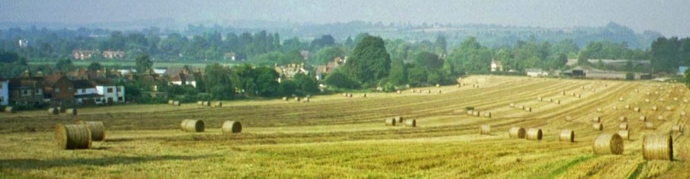
As seen in the map above Hollands Farm has always been at the heart of what could be called the old village. Its expansive fields, trees, hedges and wooded areas, providing ideal habitat for wild life, including bats seen regularly in the summer evenings, even an Adder some years back. There is more on Hollands Farm here
The proposed Hollands farm development (76.6 Acres ~bound by the red line) is Green Belt – for a very good reason. What was once known as “Upper Hedsor Road” is part of a “Conservation Area”, and adjoins an “Area of Outstanding Natural Beauty” (AONB).
The proposed Hollands farm development will impact both the “Conservation Area” as well the AONB, when viewed from the hills above.