Growth of Bourne End Village
If you visit the link below to Vision of Britain and flick through the maps you will see the growth of Bourne End over the last ~150 years. Watch the Village of Bourne End grow in a West of North direction. http://www.visionofbritain.org.uk/place/23790

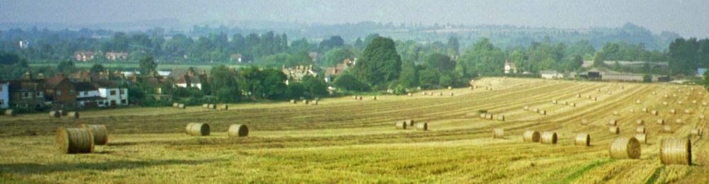
growth of Bourne End over the years
The mark-up of the map shows the direction of growth over the years from what would have been a small hamlet, through the arrival of the railways, mergers with neighbouring hamlets, to the village it is today. The one we know and dearly love.
From the maps it can also be seen Hollands farm has always been at the heart of what was the original hamlet. A hamlet that has managed to retain most of its original character – and in some-ways has been left in a time warp.
Many of its residents today can trace their family history generations within the village. Some are now retired, and still live in the house they were born.
The proposed Hollands Farm development will be a change from the past precedent of the past planning growth direction.
The proposed Hollands Farm development will effectively obliterate what remains of the original village and its character. In the process destroying the close knit community.
The proposed Hollands Farm development will over load the infrastructure of the wider Bourne End Village – increasing its population by something over 20%
The proposed Hollands Farm development will make Bourne End the size of a town – with the facilities of a village.