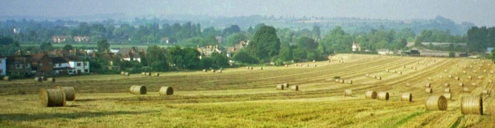
Area around Hollands Farm
Hollands Farm (the agricultural farm land) is currently classified as greenbelt, which in the past has offered some protection – from this type of widespread “change of use”
Hollands Farm (the farm house) is part of the local conservation area, that stretches up both sides of the upper end of Hedsor Road, and includes Riversdale (parts of?) & .
It also Neighbours the area designated AONB – see map below
Those looking down from these areas – will just see a sprawl of housing – the old Hamlet of Bourne End – gobbled up and indistinguishable from its historic past.
Those within the organisations that vet and run the classification of these AONB and conservation areas – should be made aware – and their take made known